Lot 11 is within the urban zone in the Cardwell Shire Council Planning Scheme.
It was 'code assessable' which means it did not go out for public comment.
Originally the development was for 10 lots which, normally, if a subdivision was 10 or more lots it would be submitted to Council for discussion. The Planning director gave this development the stamp of approval on 22nd June 2008 without sending to Council for the public record.
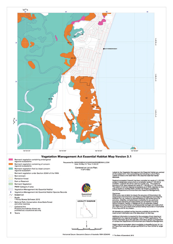
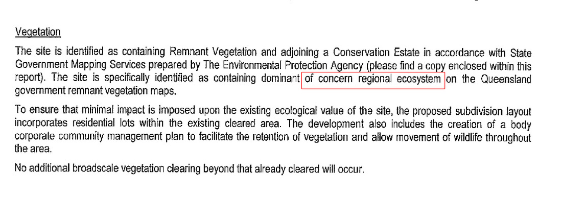
| State Government - Vegetation Management Act (VMA) Although wholesale clearing of natural vegetation was halted through the development of the VMA in 1999, developments such as this one show how the Act continues to allow clearing of remnant vegetation and essential habitat. Under the VMA, remnant vegetation is categorised by the percentage of that particular ecosystem that remains in the entire Wet Tropics; 'Endangered'(less then 10% ), 'Of Concern' (betwen 10-30%) and, 'Not of Concern' (30% or more). If a species is listed as endangered under the State Nature Conservation Act it's habitat is mapped as essential habitat which must be taken into account when clearing permits are issued. It states in the referred development application, the surrounding properties are zoned conservation with the vegetation on site described as 'of concern' essential habitat under the VMA. |
Federal Government - The EPBC Act
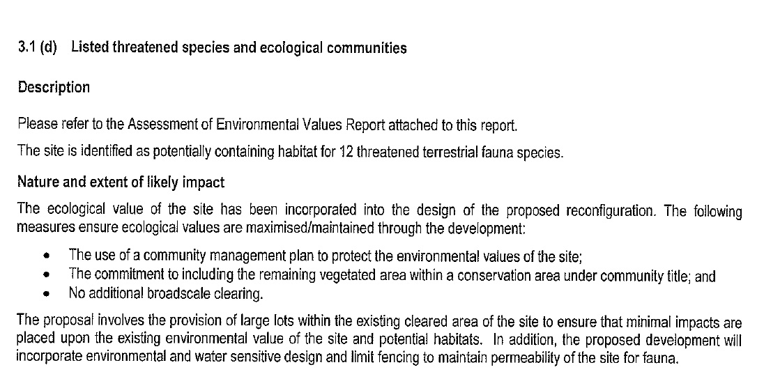
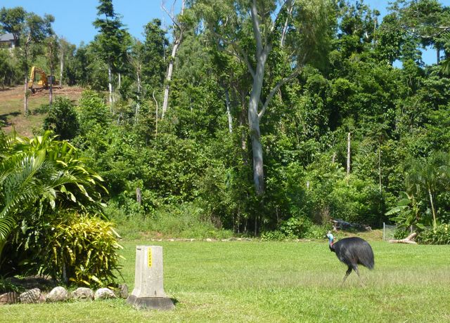
Landowners are obliged to refer any activity on their land that is likely to have an impact on a matter of national environmental significance (NES) i e World Heritage or any species or ecosytem that has been listed as endangered. This development was referred to the federal government on Jan 2009 because of the impact it may have on 3.1(d) Listed threatened species and ecological communities, the site is identified as potentially containing habitat for 12 threatened terrestrial fauna species (matters of NES)including the endangered cassowary. The development was approved with conditions on 24 May 2011.
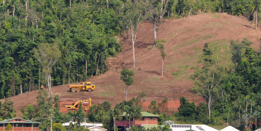
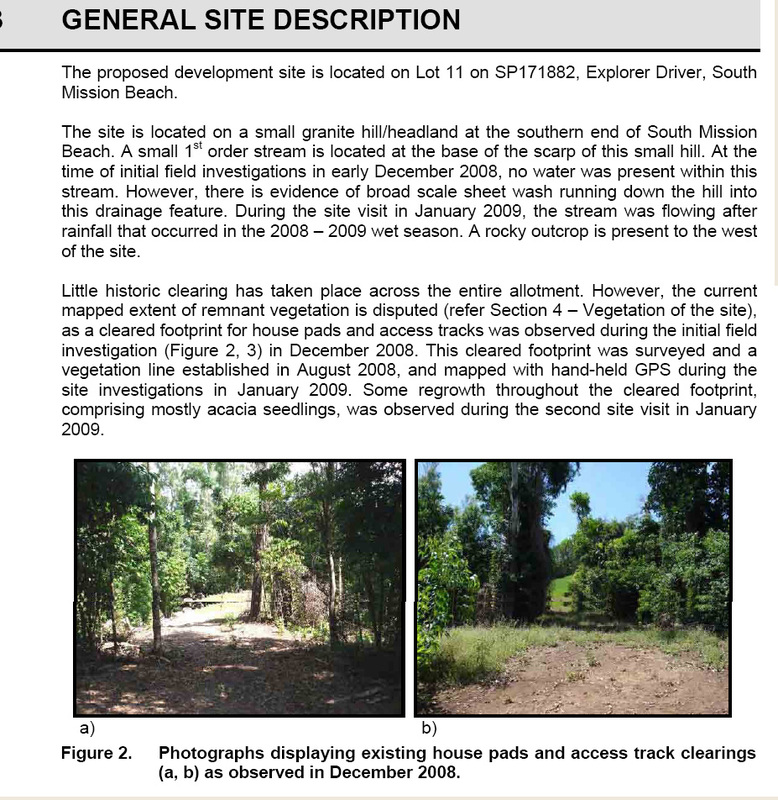
| During the assessment process the numbers of house sites were reduced from 10 to 8 lots from the orginal Council approved development. The lots were placed within the existing cleared areas. (see photo left) The subsequent reconfiguration of the development placed the house lots over the remaining patches of remnant vegetation between the cleared areas and added another large area at the entrance (now cleared) to be 'rehabilitated and landscaped' |
There certainly appears to be some disparity between what the Act seeks to protect, and the outcome of the assessemnt process we are reminded by the Minister and his department, is "rigorous".
The changes to the reconfiguration during the assessment process were confusing. One would have to crutinise every detail during the long process to be aware that they actually increased the impacts by included clearing of the high value patches of cassowary habitat both at the entrance and between the house lots. It would be only natural to assume any changes during the process would be to reduce the impact of the development not increase it!
There are countless volunteer hours spent in an attempt to inform the assessors of on ground information. It is the responsibility of those in the hierarchy of the department to apply the so called 'rigorous assessment process' of the EPBC Act by being as well informed as possible to obtain the best possible outcome for mattters of NES.
The large public response to authorities about this clearing is being noted, with a rather sheepish response that no-one thought it would be so extensive. With the Cassowary Coast Planning Scheme being developed now, the more Council hear from the public voicing their views about appropriate planning to protect land such as this, the more it will make a difference.
I think we have been well and truly hoodwinked and by professionals! It is certainly worth bringing to the Minister's attention. He will be reminded of his public announcement after the review of the EPBC Act that it is his intention to protect biodiversity by listing important habitat corridors as matters of NES giving cassowary corridors at Mission Beach as an example.
Liz Gallie
